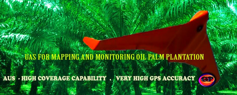
UAV for Mapping
visit: http://mygeoprecision.com
Knowing the oil palm tree in a large oil palm is important. It can be used to estimate the amount of fertilizer required for each year. Counting from satellite data or from photograph from uav platform is more accurate the from counting on the ground. Since the palm is planted in triangle pattern, one could be confusing during the counting activities. Thus, the best solution is using based on uav or high resolution satellite data.
Besides uav data is used for palm tree counting, the data is useful for other plantation activities. Further contact Dr Laili


No comments:
Post a Comment