Knowing the number of palms in a plantation give several advantages to plantation owners and plantation investors or buyers. There are several factors used to estimate the yield production of a plantation. The main factor is the total number of palms in the plantation, and it followed by factors of palm age and soil type. The oil palm planted on organic soil, in coastal areas produce higher yield than on mineral soil in the inland areas. In addition, plantations in coastal areas have higher palm density than in inland areas.
By knowing palm density, the plantation owners could estimate the total amount of fertilizer to be purchased and apply to their plantation for each year.
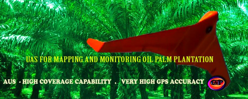
Therefore, the fastest and high accuracy method of knowing the number of palm in each block in a plantation is to use remote sensing from satellite platform or from UAV platform. However, in tropical areas like Malaysia, getting remote sensing data from satellite platform is quite unpredictable, due to cloud cover 60-80 percent of the year. The alternative is to use remote sensing data from uav platform.
GEOPRECISION TECH SDN BHD provides the following services for oil palm plantation:
1. Capturing remote sensing data using UAV platform
2. Counting of oil palm tree based on remote sensing data from UAV platform.
3. Monitoring plantation hydrology, mapping plantation landuse
4. Mapping plantation topography (contour mapping)
5. Plantation design and field planning (for replanting and new plantation)
For more informmation, please refer to
http://mygeoprecision.com)


